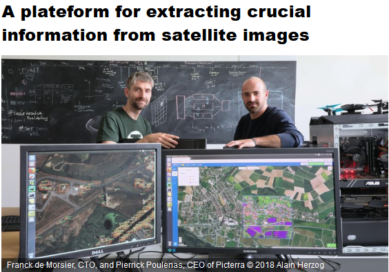
A great article of our member Picterra featured in todays EPFL News: “EPFL start-up Picterra has devised a smart system that allows users to analyze drone or satellite images of a given territory: in a few clicks, they can extract information, statistics and representations of changes that have taken place in the area.[…]”
